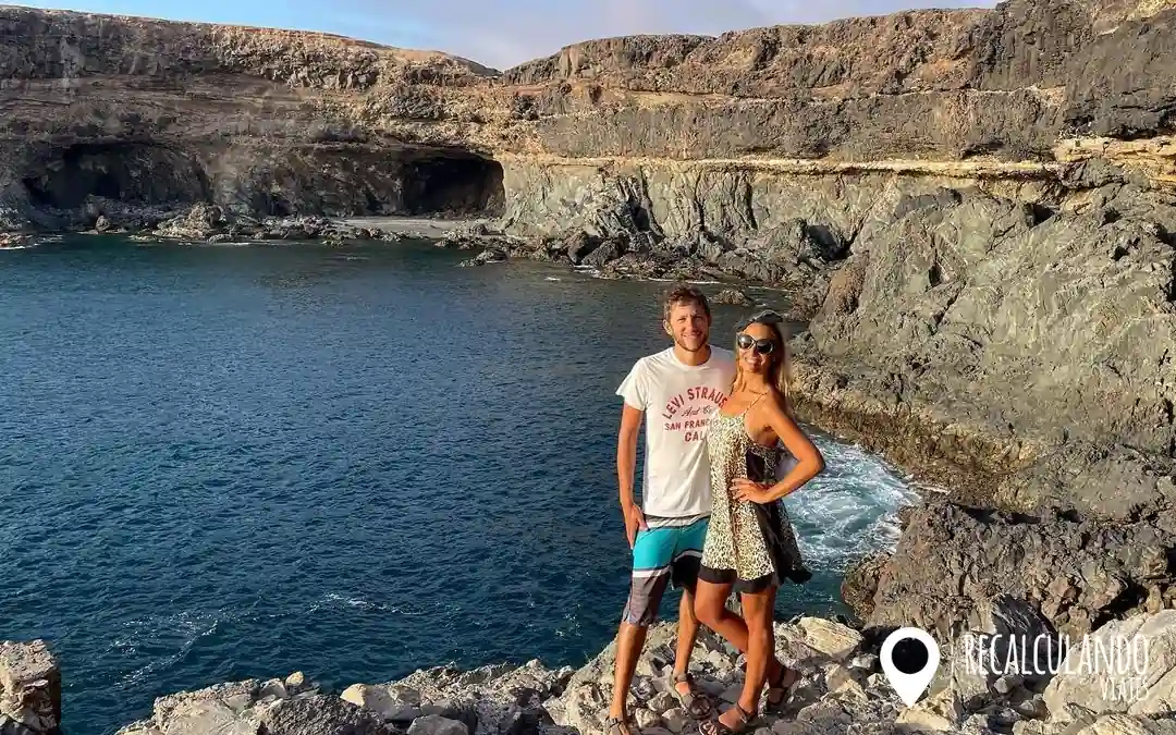
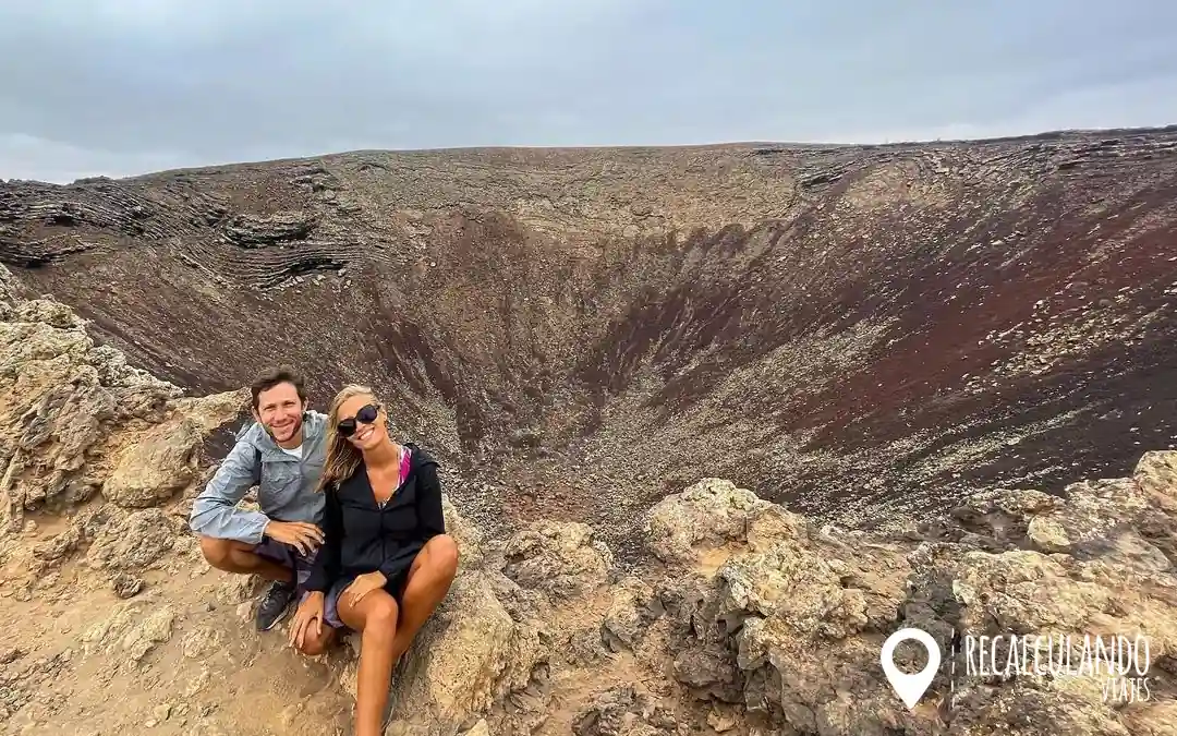
We hiked it several times on our own, during the day, in the years we lived in the north of the island. The first time was one of those experiences that stay with you: reaching the top and suddenly looking over the edge into a huge crater.
🌍 Travel Insurance: 5% Off with IATI Seguros! 🌟
Take advantage of this offer and travel safe.
What Calderón Hondo Is
It is one of the volcanoes of the Bayuyo group, in the north of Fuerteventura, between Lajares and Corralejo. It is considered one of the best preserved on the island: its crater is about 70 metres deep, with ochre, reddish and yellowish walls that change with the light.
The trail crosses a malpaís, a field of solidified lava, and ends at a platform on the rim of the crater. From there you can see the whole north of the island: the Corralejo Dunes, Lobos and, on clear days, Lanzarote.

📑 In this guide · 10 sections
How to Get There and Where to Park
The starting point is in Lajares, a village in the north about 15 minutes by car from Corralejo and El Cotillo.
- When you reach Lajares, at the roundabout at the entrance, take the exit towards Majanicho.
- Continue for about a kilometre to the car park where the trail starts. It is free, although it has few spaces.
- From there, follow the trail signs towards the volcano.
There is another place to leave the car closer, along a dirt track, which saves about 15 minutes of walking. But be careful: if your car is a rental, many contracts forbid driving on unpaved tracks. We explain it in renting a car in Fuerteventura.
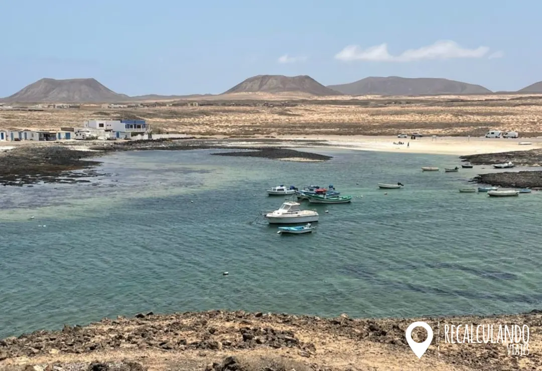
Majanicho
The Trail Step by Step
- Section 1, the malpaís: about 2.5 km, almost flat, along a well-marked dirt path between volcanic rocks. It is the longest and easiest part.
- Section 2, the climb: a short, steeper stretch up the slope of the volcano, over loose stones. Take it easy.
- Section 3, the crater: at the top there is a platform with a railing from where you can look into the crater. It is the photo moment.
The way back is along the same path. In total it is about 5 km and about 2 and a half hours counting the stops, which you will make because the views demand it. You can find the official route on the Fuerteventura tourism website.
👩⚕️👨⚕️ A must-have for stress-free travel! 🌎✈️ ➜ Get a Quote, Compare & Buy
The Squirrels of the Volcano
On the way and on the rim of the crater you will come across many Barbary ground squirrels, which approach hikers without fear. They are cute, but they are a species introduced to the island, so do not feed them: it harms them and upsets the balance of the place.
When to Go Up
You can do it all year round. The best times are first thing in the morning or late in the afternoon, because there is no shade at all along the route and the sun is strong at midday. If you go up for the sunset, work out the descent time carefully so you do not come down in the dark.
There are also guided night excursions to the crater with stargazing, taking advantage of the very low light pollution in the area. We cover them in our guide to excursions in Corralejo.



Tips for the Climb
- Closed shoes with a good sole: the final stretch is loose stone.
- Water, cap and sunscreen: there is no shade or facilities along the whole route.
- A light jacket: up there you feel the wind much more than down below.
- Do not leave the trail: the malpaís is a fragile ecosystem.
- Do not build stone towers and do not take stones home as souvenirs.
- Arrive early in high season: the car park has few spaces.
What to See Nearby: Lajares, El Cotillo and Corralejo
- Lajares: the village has a lovely craft market, cafés and surf shops. Check the days in markets in Fuerteventura.
- El Cotillo: 10 minutes away, with its lagoons and sunsets. More in what to see in El Cotillo.
- Corralejo and the Dunes: about 15 minutes away. We tell you about it in what to see in Corralejo.
- The whole island: in our itinerary for Fuerteventura in 5 days.

Where to Stay
The most convenient base is the north: Corralejo, El Cotillo or Lajares itself, Lajares, all less than 20 minutes from the trail. We cover the areas in where to stay in Fuerteventura.
Travel Insurance
If you are travelling from outside the European Union and plan to hike, it is a good idea to be covered. You can see our comparison of the best travel insurance for Europe, and with IATI Seguros you get a 5% discount as a reader of the blog.

Frequently Asked Questions About Calderón Hondo
How long does it take to hike up Calderón Hondo?
About 2 and a half hours round trip from the Lajares car park, including stops to rest and take photos.
Is the trail difficult?
No. Almost the whole path is flat and only the final climb has some slope with loose stone. Anyone with suitable footwear can do it.
Do you have to pay to hike up?
No, access is open and free, and so is the car park.
How deep is the crater?
About 70 metres. You can see all of it from the platform on the rim, which has a railing.
Can you go with children?
Yes, it is a very family-friendly route. You just need to avoid the hottest hours and bring enough water.
Can you feed the squirrels?
No. Although they come very close, feeding them harms them and upsets the balance of the place.
Our Final Recommendation
If you are in the north of Fuerteventura, set aside a morning for Calderón Hondo: it is easy, free and the view from the rim of the crater is one of the best on the island. Set out early, bring water and give yourself a while at the top to look towards Lobos and Lanzarote.
We hiked it several times and it surprised us every time. Have you done it already? Tell us in the comments.
Other articles for your trip to Fuerteventura
- Fuerteventura in 5 Days: A North-to-South Itinerary
- Ajuy Caves: How to Get There, the Trail and Tips
- Lobos Island: Permit, Ferry and What to See in One Day
- El Burro Beach (Glass Beach), Fuerteventura: How to Get There and What to Know…
- Fuerteventura Airport to Corralejo: how to get there
- Mirador de Vallebron Viewpoint: Essential Guide for Visiting in 2026 |…
- Sotavento Beach Jandia in Fuerteventura: 2026 Definitive Guide to Enjoy its…
- 15 Villages of Fuerteventura: The most beautiful ones on the Island + map
- The 20 Best Beaches in Fuerteventura 2026 (Guide + Map)
- Things to do in Fuerteventura 2026: Complete guide from North to South
This article contains affiliate links. If you book through these links, we may receive a small commission at no additional cost to you. We only recommend services that we use on our trips and that we trust. This helps us keep this blog free and continue creating useful content for you. Thank you for your support!
🔗 Resources & Useful Links for your trip to Fuerteventura
Do you have questions or want to add your own recommendations on Calderón Hondo?
💬 Leave a comment or write to us, we love reading about the experiences of other travelers.
Thank you very much for being part of this adventure!— Nanu & Facu 🌎 | Recalculando Viajes 💜